
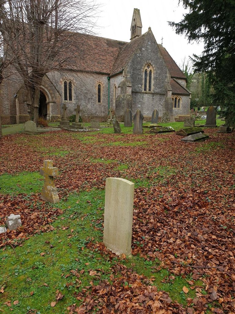
St. Peter's Churchyard
Draycott, Mendip District, Somerset, England
About
-
Get directions School Lane
Draycott, Mendip District, Somerset BS27 3SD EnglandCoordinates: 51.25809, -2.75238 - Cemetery ID:
Members have Contributed
Photos


The exterior has remained relatively unchanged, but significant changes to the interior have been made, include the replacement of gas lighting by electric light; the removal of the pews, and the addition of interior amenities (including kitchen and toilet).
St Peters is part of the Axbridge Deanery, within the Diocese of Bath and Wells.
Draycott is situated on the A371 between Cheddar and Wells, in north Somerset. St. Peter's church (School Lane, BS27 3SD) is at the Cheddar end of the village. And is just visible from the main road, on the left-hand side if driving from Cheddar; or on the right-hand side if driving from Rodney Stoke.
The exterior has remained relatively unchanged, but significant changes to the interior have been made, include the replacement of gas lighting by electric light; the removal of the pews, and the addition of interior amenities (including kitchen and toilet).
St Peters is part of the Axbridge Deanery, within the Diocese of Bath and Wells.
Draycott is situated on the A371 between Cheddar and Wells, in north Somerset. St. Peter's church (School Lane, BS27 3SD) is at the Cheddar end of the village. And is just visible from the main road, on the left-hand side if driving from Cheddar; or on the right-hand side if driving from Rodney Stoke.
Nearby cemeteries


- Added: 11 Feb 2016
- Find a Grave Cemetery ID: 2603471

Cemetery Photos
This is a carousel with slides. Use Next and Previous buttons to navigate, or jump to a slide with the slide dots. Use Escape keyboard button or the Close button to close the carousel.


Success
Uploading...
Waiting...
Failed
This photo was not uploaded because this cemetery already has 20 photos
This photo was not uploaded because you have already uploaded 5 photos to this cemetery
This photo was not uploaded because you have already uploaded 5 photos to this cemetery
Invalid File Type
Birth and death years unknown.
1 photo picked...
2 photos picked...
Uploading 1 Photo
Uploading 2 Photos
1 Photo Uploaded
2 Photos Uploaded
This photo is larger than 20 MB. Please resize to less than 20 MB and try again.
Too many photos have been uploaded
"Unsupported file type"
• ##count## of 0 memorials with GPS displayed. Double click on map to view more.No cemeteries found