
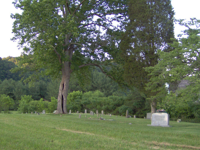
Stophel Cemetery
Bristol, Sullivan County, Tennessee, USA

Directions to the cemetery: From the intersection of TN 394 and Hwy 421-S/Carl Moore Pkwy in Bristol TN, drive Hwy 421-S about 5 miles. Turn right on Emmett Road, continue 2 miles to intersection of S Holston View Road. Bear right on Emmett Road about 1/2 mile, then continue left on Holston View Dam Road to the river bridge. You should drive about 1-1/2 miles, seeing the Weir Dam on the left with a parking area. Straight ahead on the left is Stophel Cemetery at S Holston Dam.
Directions to the cemetery: From the intersection of TN 394 and Hwy 421-S/Carl Moore Pkwy in Bristol TN, drive Hwy 421-S about 5 miles. Turn right on Emmett Road, continue 2 miles to intersection of S Holston View Road. Bear right on Emmett Road about 1/2 mile, then continue left on Holston View Dam Road to the river bridge. You should drive about 1-1/2 miles, seeing the Weir Dam on the left with a parking area. Straight ahead on the left is Stophel Cemetery at S Holston Dam.
Nearby cemeteries


- Added: 1 Jan 2000
- Find a Grave Cemetery ID: 19001

Cemetery Photos
This is a carousel with slides. Use Next and Previous buttons to navigate, or jump to a slide with the slide dots. Use Escape keyboard button or the Close button to close the carousel.

Success
Uploading...
Waiting...
Failed
This photo was not uploaded because this cemetery already has 20 photos
This photo was not uploaded because you have already uploaded 5 photos to this cemetery
This photo was not uploaded because you have already uploaded 5 photos to this cemetery
Invalid File Type
Birth and death years unknown.
1 photo picked...
2 photos picked...
Uploading 1 Photo
Uploading 2 Photos
1 Photo Uploaded
2 Photos Uploaded
This photo is larger than 20 MB. Please resize to less than 20 MB and try again.
Too many photos have been uploaded
"Unsupported file type"
• ##count## of 0 memorials with GPS displayed. Double click on map to view more.No cemeteries found