
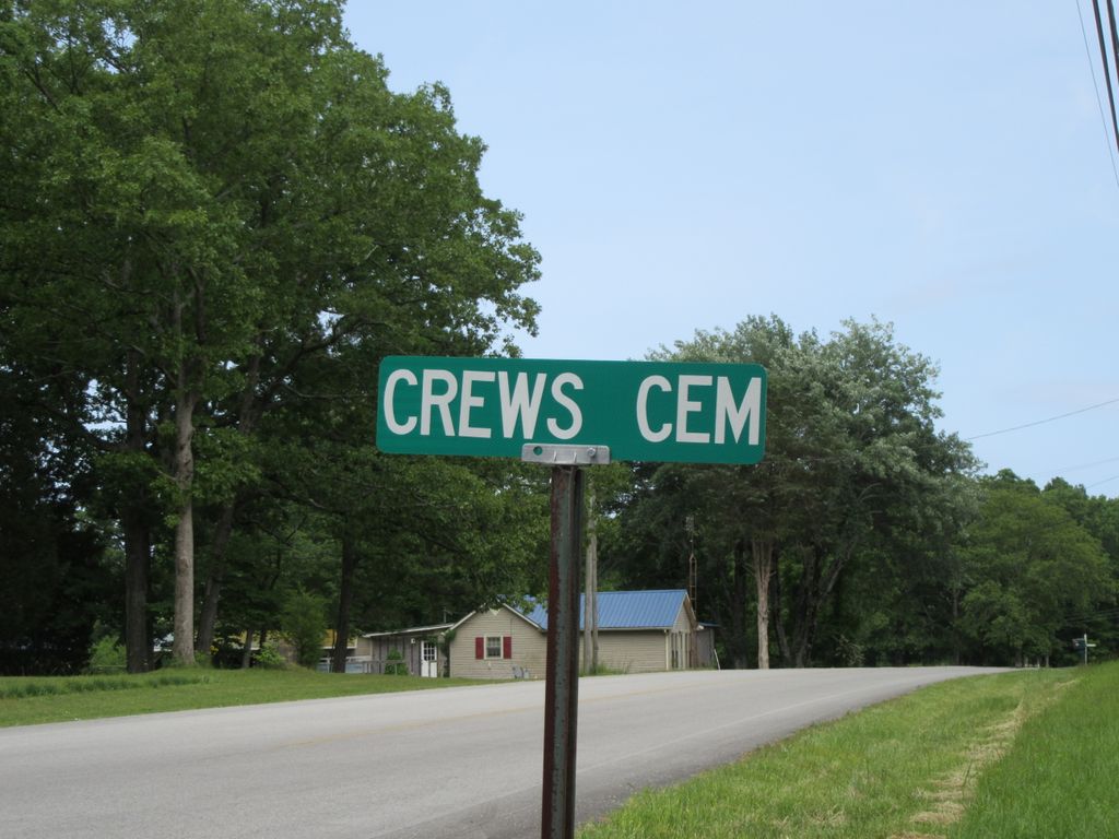
Crews Cemetery
Lawrenceburg, Lawrence County, Tennessee, USA – *No GPS coordinates
About
-
No location information available
Add Location - Cemetery ID:
Members have Contributed
- 29 Memorials
- 52% photographed
- No location information available Add Location
Photos

Crews Cemetery #1 (also known as the Grassy Branch Cemetery) is located in Lawrenceburg, Lawrence County, Tennessee.
Because it is an inactive family graveyard located deep inside private property, it does not have a mapped street address or a public satellite pin. However, you can navigate to the plot using the physical location data below.
General GPS Coordinates
The closest navigable roadway point to the hidden lane leading toward the cemetery is approximately:
- 35.2536° N, -87.4218° W
- (This marker aligns with the rural property lines at 380 Grassy Branch Road, which shares a direct boundary line with the cemetery lot).
Land Boundaries & Directions
- Location: The cemetery sits directly west of Grassy Branch Road, just north of its rural intersection with Knob Creek Road.
- Access Point: Real estate mapping and genealogical surveys note that the plot is located down an old lane in a heavily wooded, uncleared patch of trees. It is surrounded by active agricultural pastures.
Important Notice Before Visiting
Because this specific family plot is located entirely on private property, you will need permission from the local landowner to access the lane without trespassing. [1]
If you need to contact the current property owner or want to view the precise hand-drawn plat maps, you can reach out to the Lawrence County Archives at
+1 (931) 852-4091. Ask them to look up "Crews Cemetery #1" or the "Grassy Branch Plot" in their historical cemetery registry binder.
Crews Cemetery #1 (also known as the Grassy Branch Cemetery) is located in Lawrenceburg, Lawrence County, Tennessee.
Because it is an inactive family graveyard located deep inside private property, it does not have a mapped street address or a public satellite pin. However, you can navigate to the plot using the physical location data below.
General GPS Coordinates
The closest navigable roadway point to the hidden lane leading toward the cemetery is approximately:
- 35.2536° N, -87.4218° W
- (This marker aligns with the rural property lines at 380 Grassy Branch Road, which shares a direct boundary line with the cemetery lot).
Land Boundaries & Directions
- Location: The cemetery sits directly west of Grassy Branch Road, just north of its rural intersection with Knob Creek Road.
- Access Point: Real estate mapping and genealogical surveys note that the plot is located down an old lane in a heavily wooded, uncleared patch of trees. It is surrounded by active agricultural pastures.
Important Notice Before Visiting
Because this specific family plot is located entirely on private property, you will need permission from the local landowner to access the lane without trespassing. [1]
If you need to contact the current property owner or want to view the precise hand-drawn plat maps, you can reach out to the Lawrence County Archives at
+1 (931) 852-4091. Ask them to look up "Crews Cemetery #1" or the "Grassy Branch Plot" in their historical cemetery registry binder.
Nearby cemeteries


- Added: 18 Feb 2009
- Find a Grave Cemetery ID: 2294406

Cemetery Photos
This is a carousel with slides. Use Next and Previous buttons to navigate, or jump to a slide with the slide dots. Use Escape keyboard button or the Close button to close the carousel.

Success
Uploading...
Waiting...
Failed
This photo was not uploaded because this cemetery already has 20 photos
This photo was not uploaded because you have already uploaded 5 photos to this cemetery
This photo was not uploaded because you have already uploaded 5 photos to this cemetery
Invalid File Type
Birth and death years unknown.
1 photo picked...
2 photos picked...
Uploading 1 Photo
Uploading 2 Photos
1 Photo Uploaded
2 Photos Uploaded
This photo is larger than 20 MB. Please resize to less than 20 MB and try again.
Too many photos have been uploaded
"Unsupported file type"
• ##count## of 0 memorials with GPS displayed. Double click on map to view more.No cemeteries found