
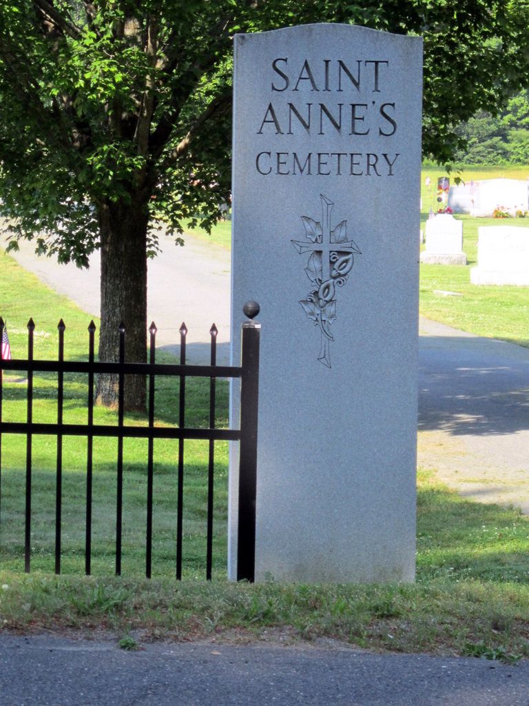
Saint Annes Cemetery
Montague, Franklin County, Massachusetts, USA
About
-
Get directions Turners Falls Road
Montague, Massachusetts 01376 United StatesCoordinates: 42.58613, -72.54806 - Cemetery ID:
Members have Contributed
Photos


Tel: (413)863-2585
St Anne's Cemetery is the first cemetery driveway on the left heading south on Turners Falls Road. It directly joins St Mary's Cemetery. On the map, St Anne's is the northern half of the cemetery. On the ground, the hill forms a small bluff; St Anne's ends below the bluff. St Mary's is the portion above the bluff. On the satellite map view, the dividing line is much clearer than on the ground.
Both cemeteries are administered by Our Lady of Peace Parish (formerly St Mary's of the Assumption)
Tel: (413)863-2585
St Anne's Cemetery is the first cemetery driveway on the left heading south on Turners Falls Road. It directly joins St Mary's Cemetery. On the map, St Anne's is the northern half of the cemetery. On the ground, the hill forms a small bluff; St Anne's ends below the bluff. St Mary's is the portion above the bluff. On the satellite map view, the dividing line is much clearer than on the ground.
Both cemeteries are administered by Our Lady of Peace Parish (formerly St Mary's of the Assumption)
Nearby cemeteries


- Added: 24 Dec 2011
- Find a Grave Cemetery ID: 2430910

Cemetery Photos
This is a carousel with slides. Use Next and Previous buttons to navigate, or jump to a slide with the slide dots. Use Escape keyboard button or the Close button to close the carousel.


Success
Uploading...
Waiting...
Failed
This photo was not uploaded because this cemetery already has 20 photos
This photo was not uploaded because you have already uploaded 5 photos to this cemetery
This photo was not uploaded because you have already uploaded 5 photos to this cemetery
Invalid File Type
Birth and death years unknown.
1 photo picked...
2 photos picked...
Uploading 1 Photo
Uploading 2 Photos
1 Photo Uploaded
2 Photos Uploaded
This photo is larger than 20 MB. Please resize to less than 20 MB and try again.
Too many photos have been uploaded
"Unsupported file type"
• ##count## of 0 memorials with GPS displayed. Double click on map to view more.No cemeteries found