
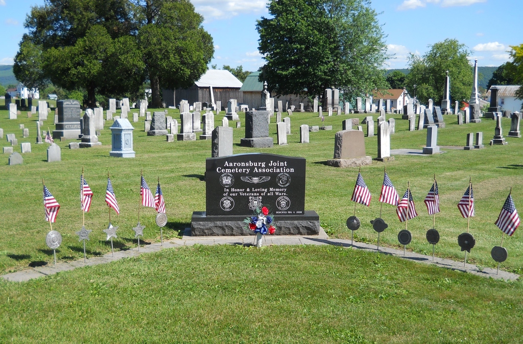
Aaronsburg Reformed Cemetery
Also known as Evangelical and Reformed Cemetery
Aaronsburg, Centre County, Pennsylvania, USA
About
-
Get directions Pine & West Vine Streets
Aaronsburg, Pennsylvania 16820 United StatesCoordinates: 40.90260, -77.45300 - Cemetery ID:
Members have Contributed
Photos

Directions:
From the light in Millheim [Main and North Streets] travel east on Main Street [ Route 45] 1.3 miles. Turn left on Pine Street in Aaronsburg. Go two full blocks to intersection of Pine Street and West Vine Street. Cemetery is on your right.
History:
In 1796 Aaron Levy deeded two lots to Adam Harper and Frederick Henry. These lots were to be used for a cemetery and erection of a church. About 1800 the first church was erected. It burned and the church lost all of its records. In 1842 a new church was built on the same lot. A few years later the church purchased a parsonage. In 1885 the Reformed congregation dedicated a new church that stood in the center of town on top of a hill and, its high steeple could be seen across the valley. In the early 1900s a 70 feet shed was built to shelter the horses during church services. In 1942 the tall steeple was removed and the clock was lowered. When St Paul's closed in 1963, eighteen members joined St. Peter's. In the 1960s a church Communion Flagon which had been lost for many years was returned to the church by an antique dealer.
There was never a charter for the cemetery. It was in 1927 that James Roush, Lloyd Bartges and Norman Hazel donated money in order to have sufficient funds to secure a charter.
Source:
* Spangler Book 75-1 pages 40-72
*The Cemeteries of Haines Township, Centre County, Pennsylvania printed by Centre County Genealogical Society (CCGS) State College, PA published 2007 pages 29-50.
Directions:
From the light in Millheim [Main and North Streets] travel east on Main Street [ Route 45] 1.3 miles. Turn left on Pine Street in Aaronsburg. Go two full blocks to intersection of Pine Street and West Vine Street. Cemetery is on your right.
History:
In 1796 Aaron Levy deeded two lots to Adam Harper and Frederick Henry. These lots were to be used for a cemetery and erection of a church. About 1800 the first church was erected. It burned and the church lost all of its records. In 1842 a new church was built on the same lot. A few years later the church purchased a parsonage. In 1885 the Reformed congregation dedicated a new church that stood in the center of town on top of a hill and, its high steeple could be seen across the valley. In the early 1900s a 70 feet shed was built to shelter the horses during church services. In 1942 the tall steeple was removed and the clock was lowered. When St Paul's closed in 1963, eighteen members joined St. Peter's. In the 1960s a church Communion Flagon which had been lost for many years was returned to the church by an antique dealer.
There was never a charter for the cemetery. It was in 1927 that James Roush, Lloyd Bartges and Norman Hazel donated money in order to have sufficient funds to secure a charter.
Source:
* Spangler Book 75-1 pages 40-72
*The Cemeteries of Haines Township, Centre County, Pennsylvania printed by Centre County Genealogical Society (CCGS) State College, PA published 2007 pages 29-50.
Nearby cemeteries


- Added: 25 Feb 2001
- Find a Grave Cemetery ID: 330021

Cemetery Photos
This is a carousel with slides. Use Next and Previous buttons to navigate, or jump to a slide with the slide dots. Use Escape keyboard button or the Close button to close the carousel.

Success
Uploading...
Waiting...
Failed
This photo was not uploaded because this cemetery already has 20 photos
This photo was not uploaded because you have already uploaded 5 photos to this cemetery
This photo was not uploaded because you have already uploaded 5 photos to this cemetery
Invalid File Type
Birth and death years unknown.
1 photo picked...
2 photos picked...
Uploading 1 Photo
Uploading 2 Photos
1 Photo Uploaded
2 Photos Uploaded
This photo is larger than 20 MB. Please resize to less than 20 MB and try again.
Too many photos have been uploaded
"Unsupported file type"
• ##count## of 0 memorials with GPS displayed. Double click on map to view more.No cemeteries found