
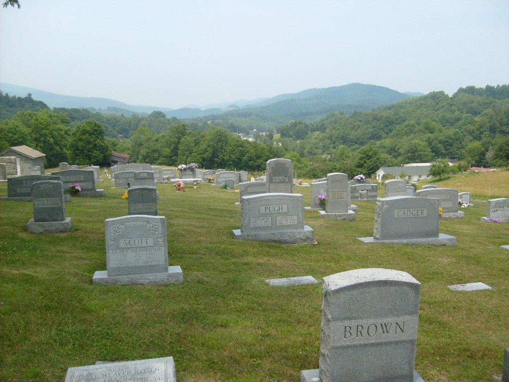
Troutdale Cemetery
Also known as Trout Dale Cemetery, Troutdale Town Cemetery
Troutdale, Grayson County, Virginia, USA

Directions:
From Troutdale Hwy (SR 16) and Ripshin Rd (Rt 603) go west on Ripshin Rd. about 0.5 mile to Auburn Lane (Rt. 827) on right (north) side of road. Take Auburn Ln to the cemetery.
There are over 450 grave sites in this cemetery with the earliest burials dating from circa. 1910. The cemetery is neat, clean, and exceptionally well maintained.
Grayson County, VA GIS Map Number: 29A-A-96
Owner: TROUTDALE CEMETERY
Directions:
From Troutdale Hwy (SR 16) and Ripshin Rd (Rt 603) go west on Ripshin Rd. about 0.5 mile to Auburn Lane (Rt. 827) on right (north) side of road. Take Auburn Ln to the cemetery.
There are over 450 grave sites in this cemetery with the earliest burials dating from circa. 1910. The cemetery is neat, clean, and exceptionally well maintained.
Grayson County, VA GIS Map Number: 29A-A-96
Owner: TROUTDALE CEMETERY
Nearby cemeteries

- Added: 1 Jan 2000
- Find a Grave Cemetery ID: 52467

Cemetery Photos
This is a carousel with slides. Use Next and Previous buttons to navigate, or jump to a slide with the slide dots. Use Escape keyboard button or the Close button to close the carousel.

Success
Uploading...
Waiting...
Failed
This photo was not uploaded because this cemetery already has 20 photos
This photo was not uploaded because you have already uploaded 5 photos to this cemetery
This photo was not uploaded because you have already uploaded 5 photos to this cemetery
Invalid File Type
Birth and death years unknown.
1 photo picked...
2 photos picked...
Uploading 1 Photo
Uploading 2 Photos
1 Photo Uploaded
2 Photos Uploaded
This photo is larger than 20 MB. Please resize to less than 20 MB and try again.
Too many photos have been uploaded
"Unsupported file type"
• ##count## of 0 memorials with GPS displayed. Double click on map to view more.No cemeteries found