Server error occurred while getting memorial plots. Some memorials may not be displayed.
Define the borders. Select along the edges to add as many corners as you need for the cemetery or section. To finish your outline, select the first point you created to close the shape.
- Coordinates: Get directions
- 32.81494
-79.94644 - Total memorials added:
- 14,938
- Memorials with GPS:
- 7,127
- Without grave photo -
Tip: Hold down the shift key and drag the mouse to select multiple memorials in a section of the cemetery.
More TipsWe’ve suggested a boundary based on the map. Does this look correct?
- Added: 8 Oct 2002
- Find a Grave Cemetery ID: 1622996

Add Photos
- Photos larger than 8.0 MB will be reduced.
- Photos larger than 20 MB will not be accepted.
- Each contributor can upload a maximum of 5 photos for a cemetery.
- A cemetery can have a maximum of 20 photos.
- No AI-generated or digitally created images.
File Name ·
Cemetery Photos
This is a carousel with slides. Use Next and Previous buttons to navigate, or jump to a slide with the slide dots. Use Escape keyboard button or the Close button to close the carousel.
On August 25,1851, Bishop Reynolds purchased a portion of land known as
"the land formally known as Magnolia Farm" from a Mr. Edward Tharin for $2,500.00. This area was to be named "Saint Laurence" Roman Catholic Cemetery. The registry book lists the first burial to be 1852.
The far sides of the cemetery were carriage roads the left was known as North Road and the right, South Road. After moroized vehicles came into use these roads were sold as burial plots.
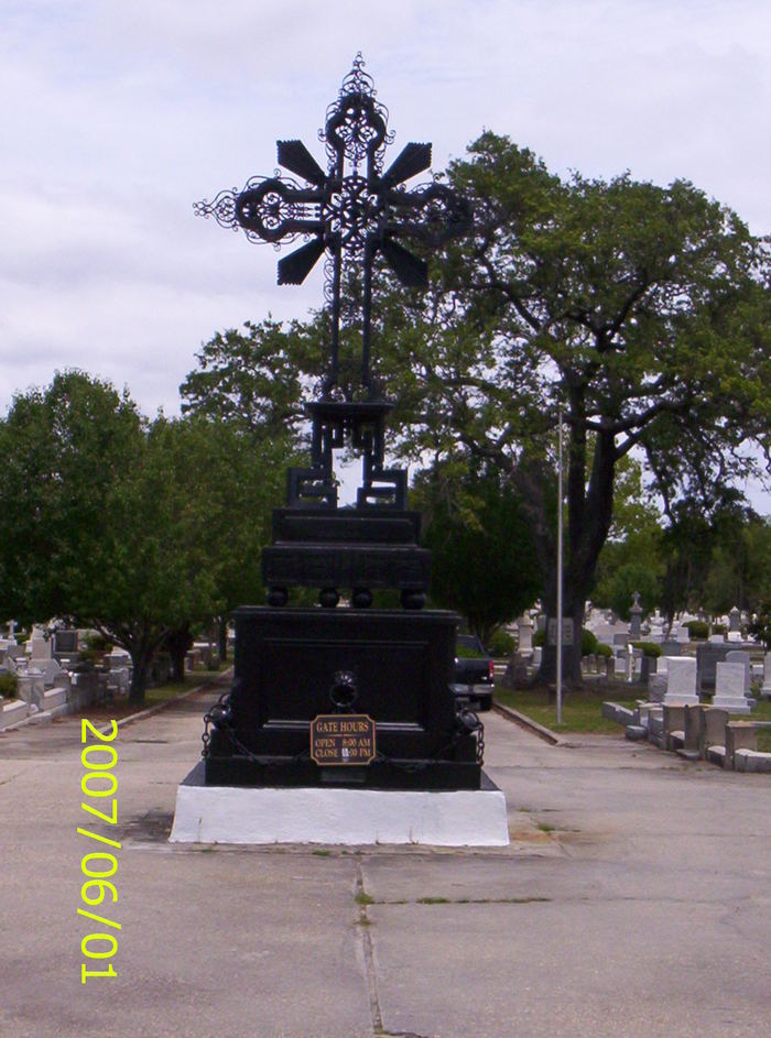
As you go around the cross at the entrancethere is a beautiful roadway that runs the center of the cemtery, when you come to the first cross road, to the very far right is the original holding tomb. Proceeding straight on the main road, the area to the direct right is known as the Lake. Many years ago there was a lake it was filled in to make more burial space.Continue up the main road and you arrive at the Circle. This is in three section, the outer circle, the inner circle and the center. Roads bear off to each side and are very narrow they lead to the what we call the newer section. This leads to the marsh overlooking the Cooper River. Interments continue and the staff keep the cemetery looking beautiful. In the 1960's unfortunatly this area was not a safe place to just get out and stroll and became very run down. Staff are usually there Monday thru Friday from 9am to 2pm.
Photographed 11 October 2015.
Volunteer for cemetery
Unvolunteer from cemetery
Spreadsheet Upload - Disabled
The spreadsheet upload feature is disabled during this preview version of Find a Grave. To upload a spreadsheet, please use the old site.